Surveying
CESI is committed to providing professional and relationship-based surveying services through investing in innovative solutions and exceptional surveying services. Our teams are trained and equipped with the latest state-of-the-art technology to ensure our clients receive the highest quality survey.
We are dedicated to providing high-quality surveys by investing in and training forward-thinking employees. We are committed to professionalism and creativity by utilizing advanced technology and leading-edge equipment. Our focus is on ensuring our clients receive a quality survey with high levels of accuracy and attention to detail.
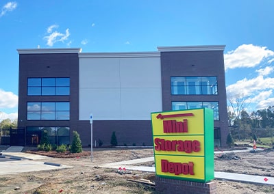
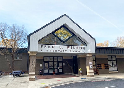
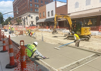
Surveying Teams offer a variety of surveying services, including Boundary and Topographic Surveys, Construction Staking, and As-Built Surveys. They use Conventional and GPS equipment, as well as a Drone equipped with LiDAR capabilities. Our drone team is led by an FAA Part 107 certified pilot who is also a licensed Professional Land Surveyor.
")
Our Service Areas
Our surveyors are licensed in Georgia, Kentucky, North Carolina, South Carolina, Tennessee, Virginia and West Virginia.


These guys have always been so responsive and efficient. They treat me, a small builder, with the respect and urgency you would expect for a larger builder. I give them my highest recommendation!
")
Darren Calhoun
Associated Services
CESI is one of the largest surveying firms in North Carolina and offers professional surveying services throughout the Southeast United States.
-
 Boundary Surveys
-
 Railroad Surveys
-
 Volume Monitoring and Calculations
-
 ALTA/NSPS Land Title Surveys
-
 Topographic Surveys
-
 Interior/Architectural LiDAR Surveys
-
 Construction Staking
-
 GPS Surveys
-
 Residential and Commercial Subdivision Surveys
-
 Geodetic Control Surveys
-
 Legal Descriptions
-
 Route and Location Surveys (Transmission, Gas, Cable)
-
 As-Built Surveys
-
 Right of Way Surveys
-
 Unmanned Aerial Systems Services (USA, UAV) Surveying
-
 Tree Surveying
-
 Horizontal & Vertical Monitoring
-
 FEMA Elevation Certificates and Map Amendments/Revisions